
New Historical Map of Brecon
Launch of the New Historical Map of Brecon on Saturday 10th October 2026, 11am | Brecon Guildhall
Brecon’s townscape preserves many fascinating reminders of its past – from its medieval origins and its role in the wars between the Welsh and English, to its importance as the county town and regional centre throughout the Georgian and Victorian periods. Today, Brecon remains an important administrative, military, market, cultural, religious and educational centre, as well as a popular destination for visitors.
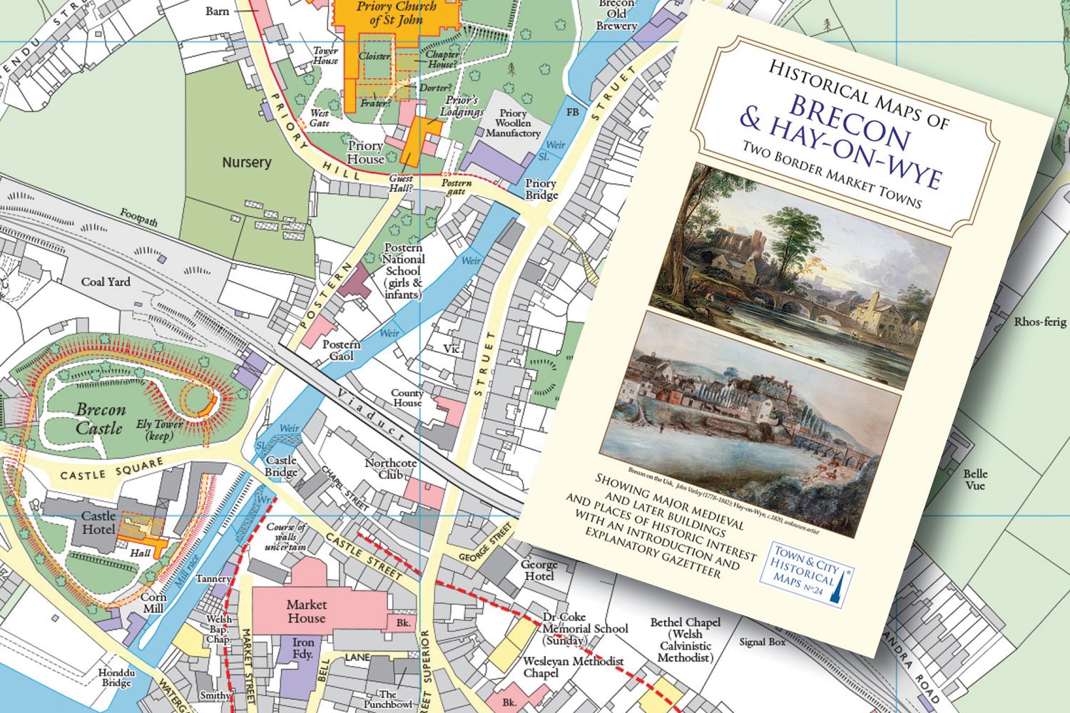
The Brecknock Society & Museum Friends are delighted to invite local residents and visitors to the launch of a beautiful new historical map of Brecon and Hay-on-Wye. One of a series produced by the Historic Towns Trust, the map highlights surviving medieval and later monuments and buildings that were standing in 1904, alongside the sites of earlier historic buildings that have since disappeared.
Based on Ordnance Survey mapping, the historical information is overlaid to reveal fascinating details about the towns’ defences, public buildings, places of worship, hotels, inns and public houses, schools and colleges, houses, industries and businesses. Further information is provided in an introduction and a comprehensive and informative gazetteer.
At this special Brecknock Society event, a short film will explain how the map was compiled, followed by presentations exploring some of the fascinating features shown. These include Brecon Castle, Christ College, the town walls and gates, public buildings and non-conformist places of worship.
After the presentations, there will be an opportunity to meet the speakers, enjoy a wine reception and be among the first to purchase a copy of this fascinating new map. The event is free and everyone is very welcome.